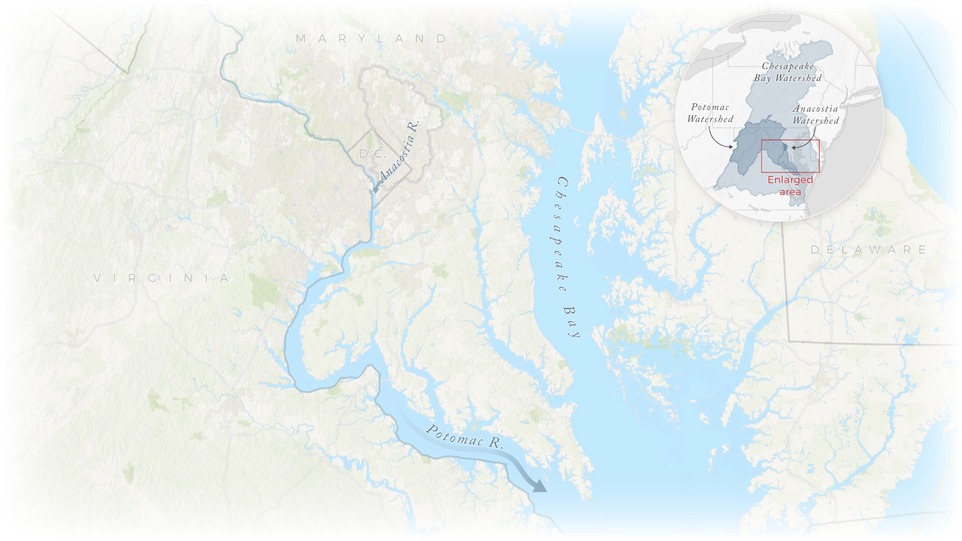
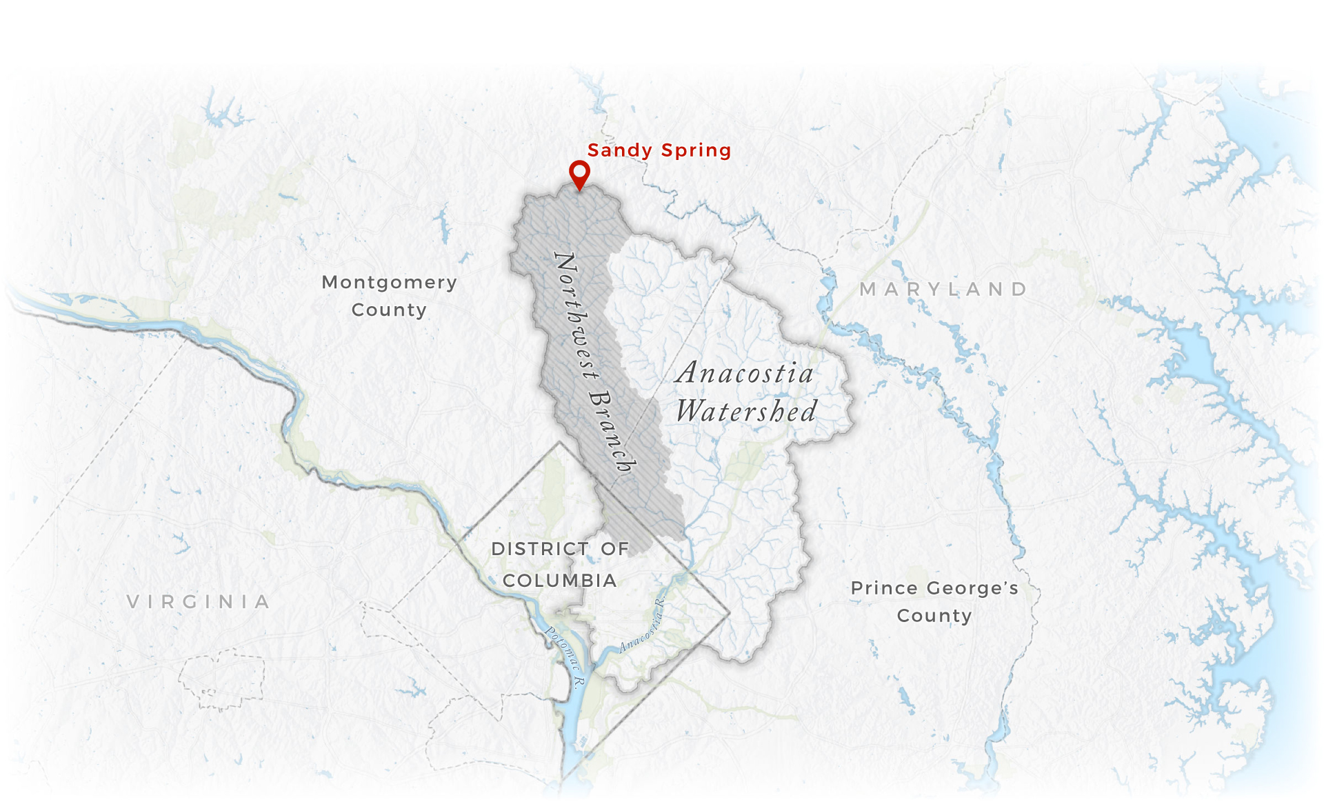
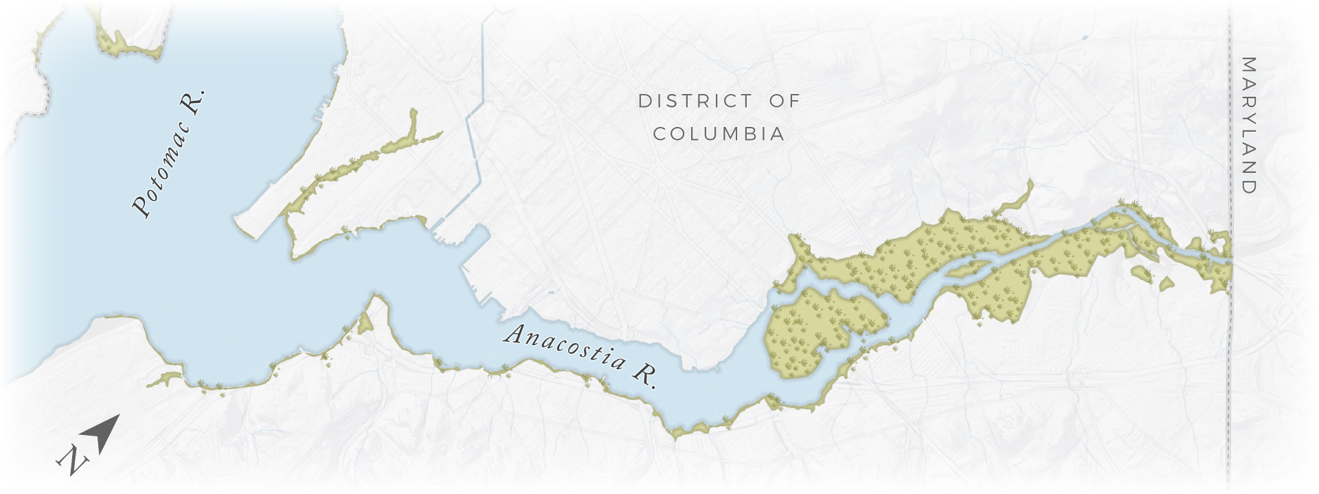
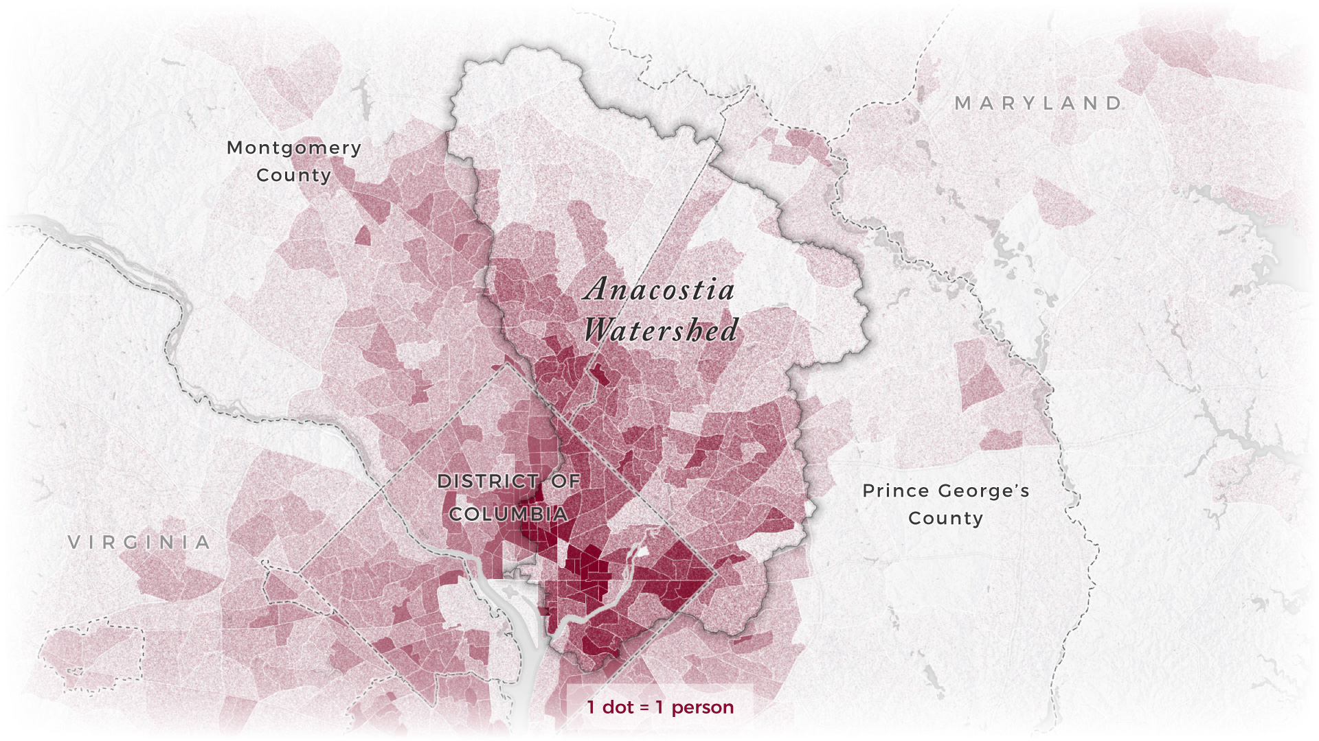
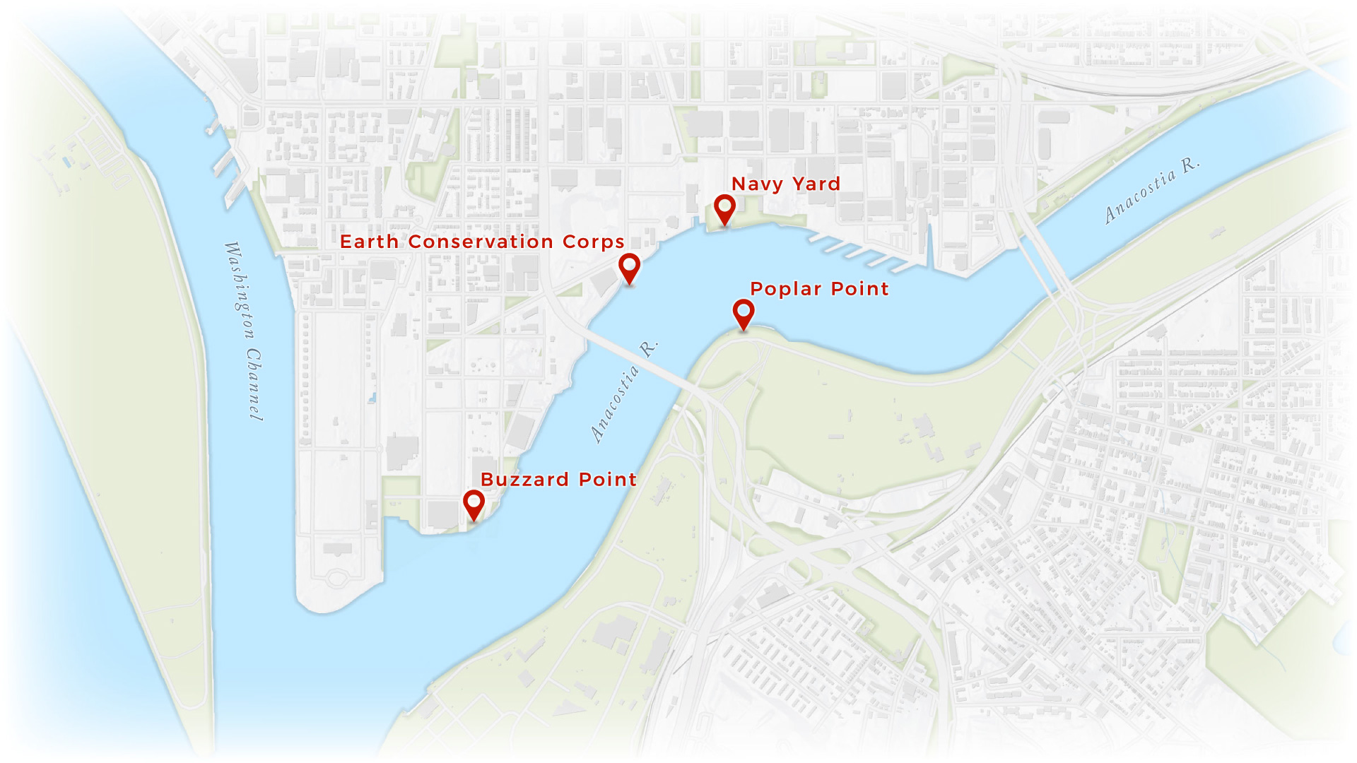
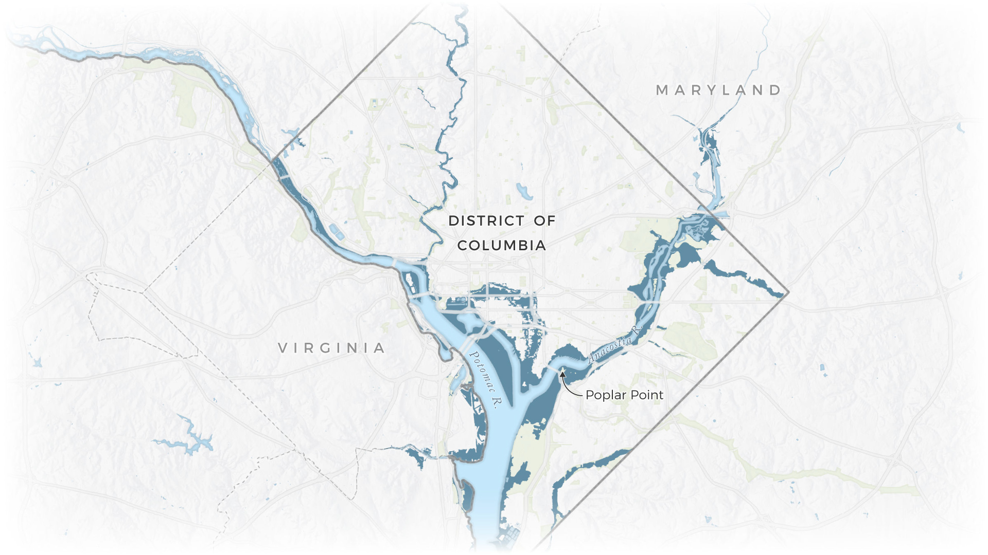
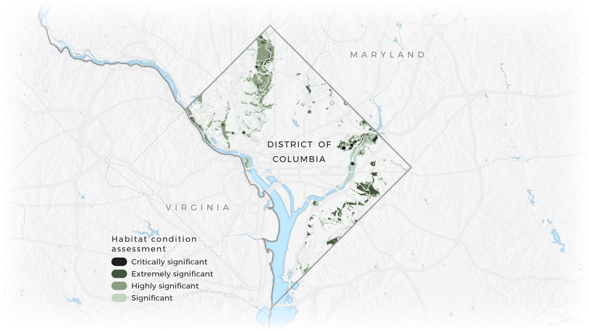
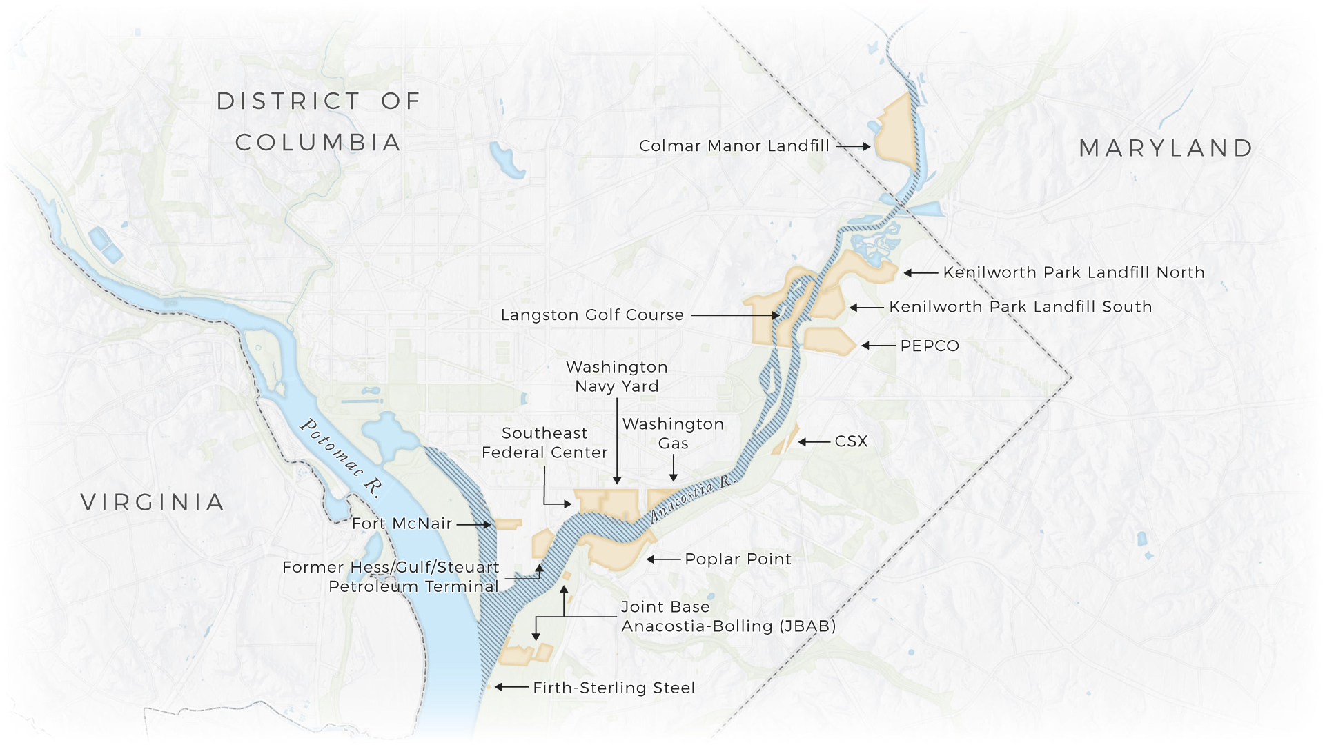
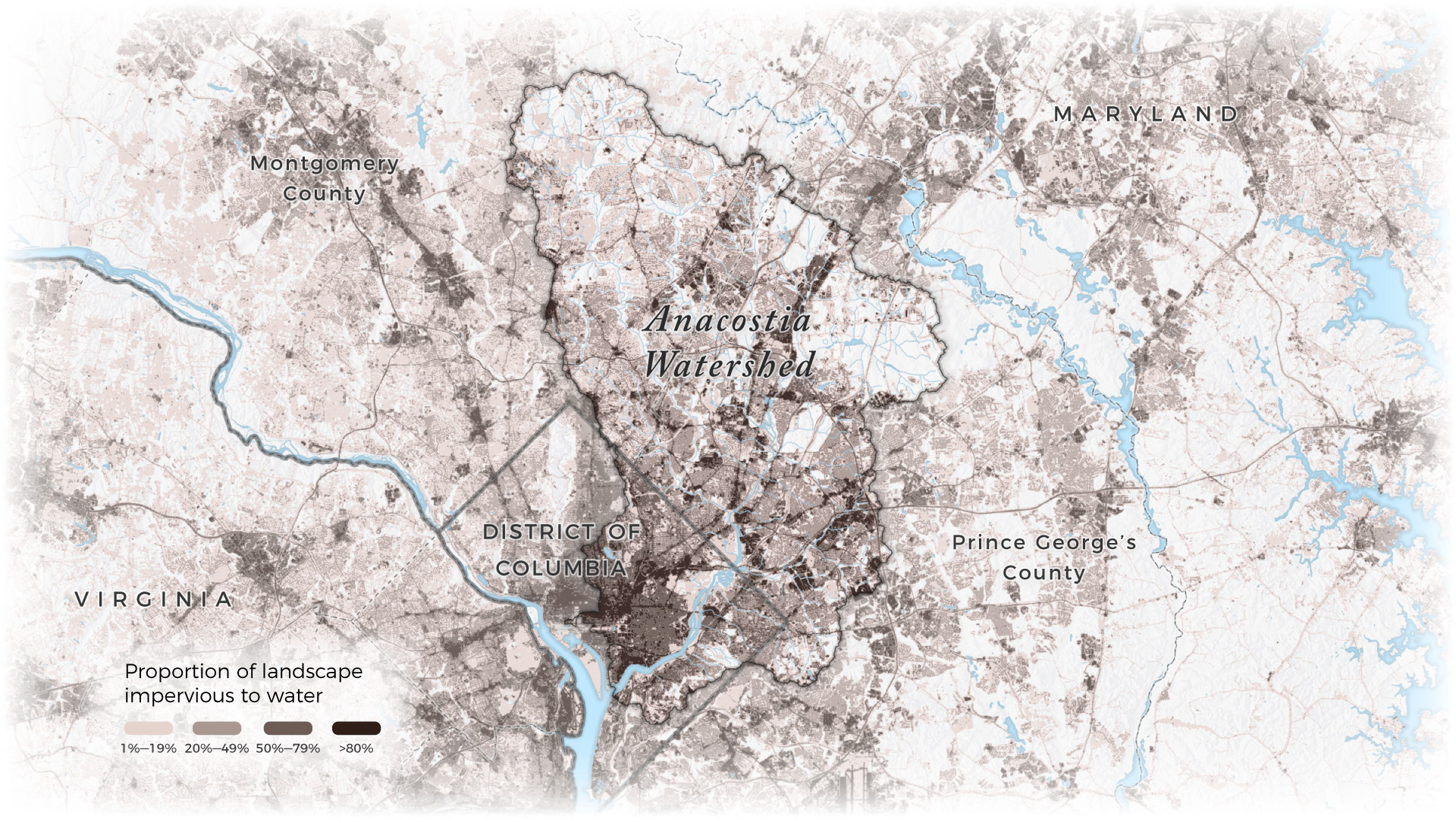
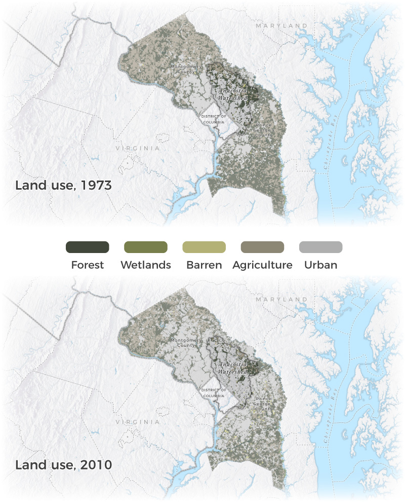
Recently, I had the privilege of working with conservation photographer Krista Schlyer on a nine-part series of story maps about the Anacostia River. Krista, who is currently writing a book about the river, furnished the text and images, while I produced the maps and helped assemble the story maps. Because the Anacostia traverses no fewer than three county-level jurisdictions, acquiring authoritative data proved to be the most challenging part of this project. All told, I created nearly three dozen unique maps, which draw from over 120 data sources. Some of my favorite maps from the series are below; to read the full piece, or to see the maps in context, click here.

