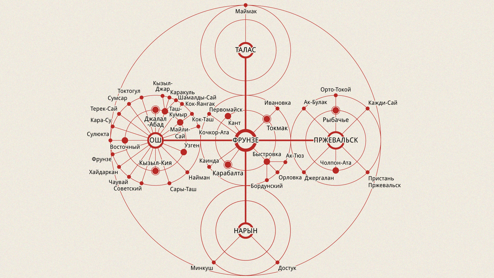
This radial diagram of cities in Kyrgyzstan is adapted from an uncredited illustration in Архитектура Советской Киргизии (Architecture of Soviet Kirghizia), published in Moscow in 1986. The cities are named on the map as they were in 1986; many have since been renamed.
Click the image below to enlarge.

