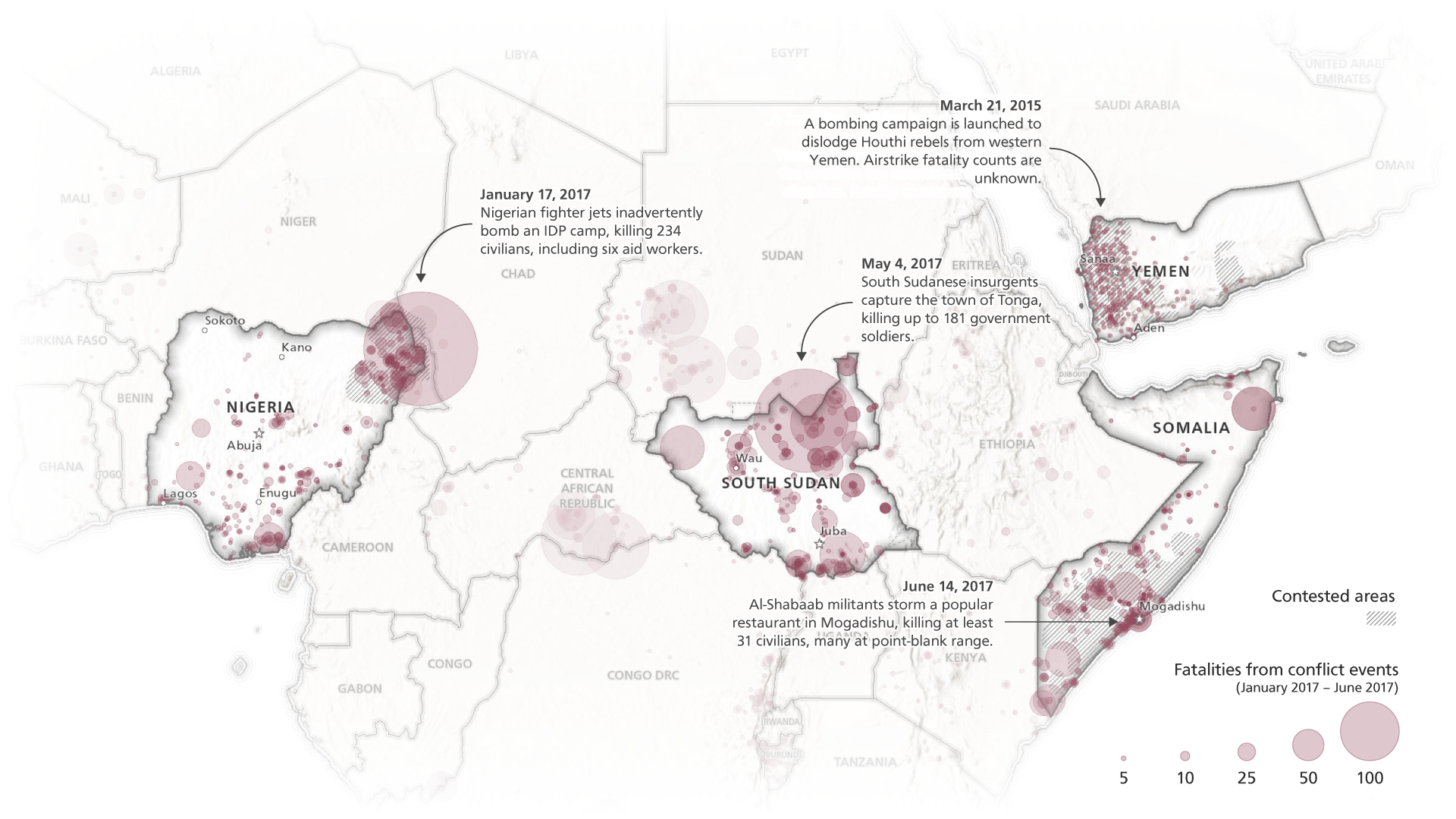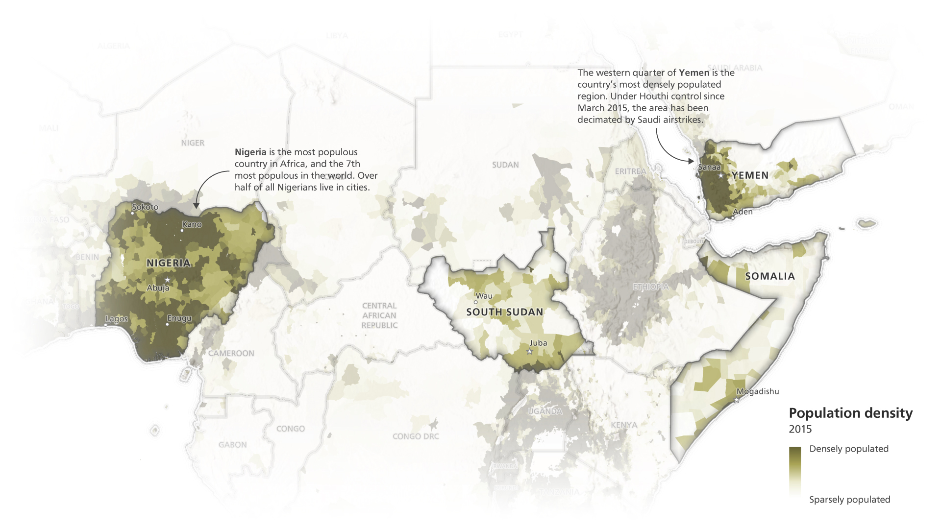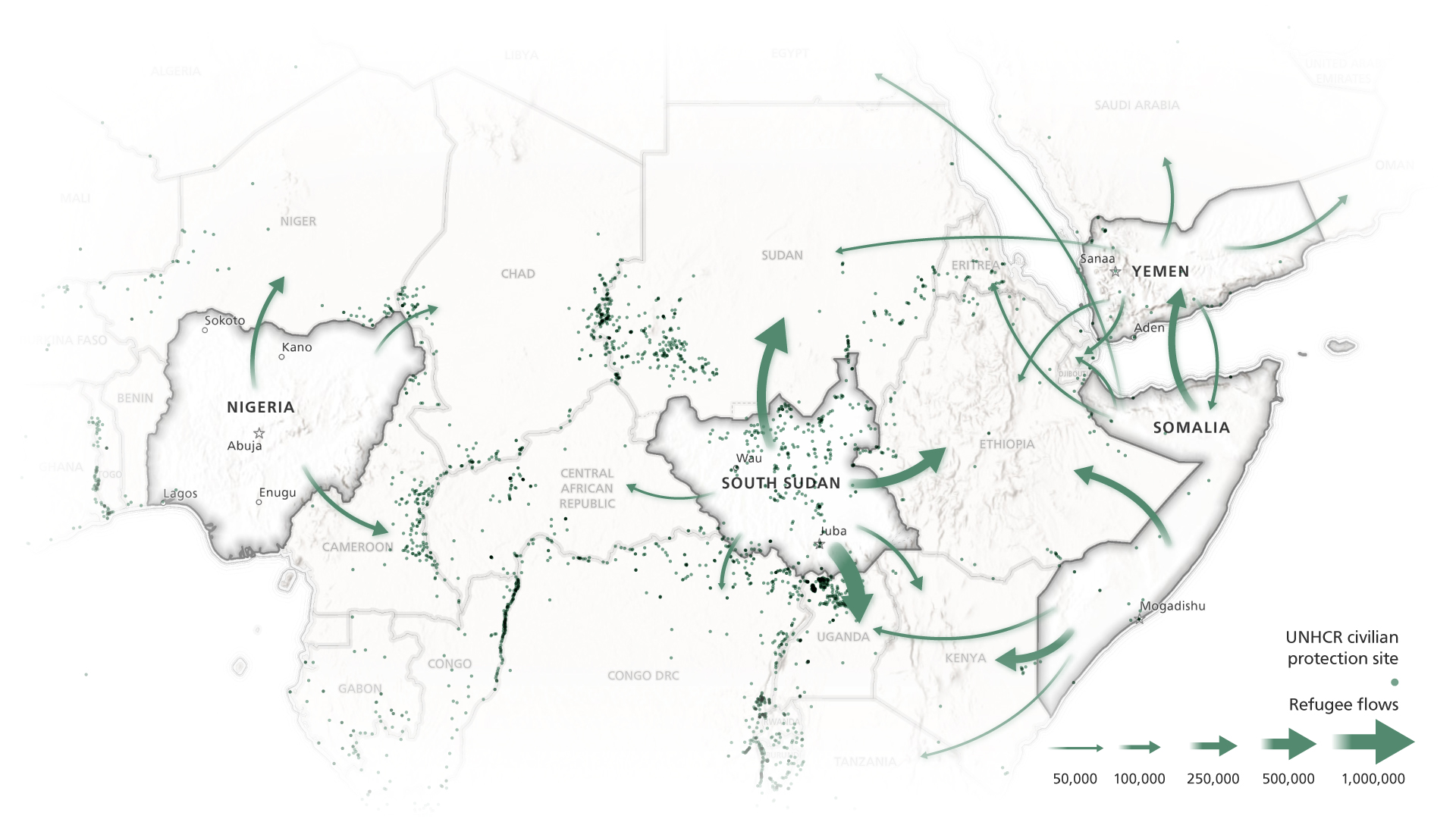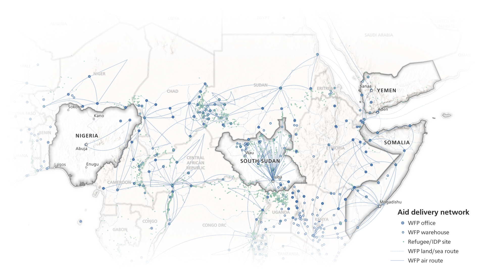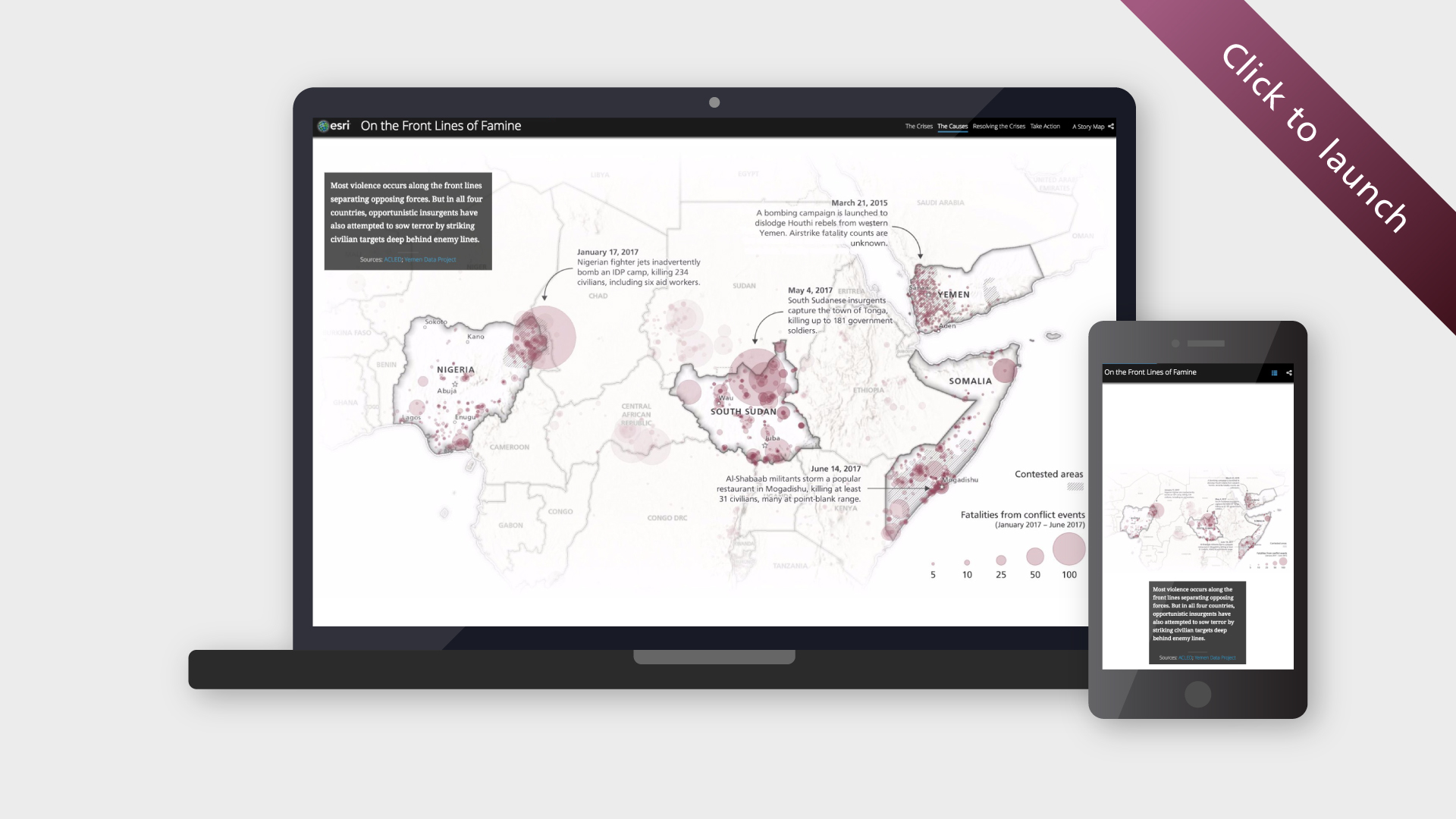
This suite of story maps documents the looming humanitarian crises in Yemen, Somalia, South Sudan, and Nigeria. It’s comprised of one “overview” story map that relies on static maps and infographics to highlight common themes across the countries, and four country-specific stories that use interactive maps to illuminate the crises’ local contexts in greater detail.
The project was a highly collaborative effort; I created all the maps (static and interactive) and designed the country dashboards; team lead Allen Carroll created the infographics; Greyson Harris wrote most of the copy; and new team member Hannah Wilber provided a final coat of polish (and kept the rest of us sane). We interviewed and solicited input from subject matter experts at the World Food Program, World Vision, and Catholic Relief Services.


