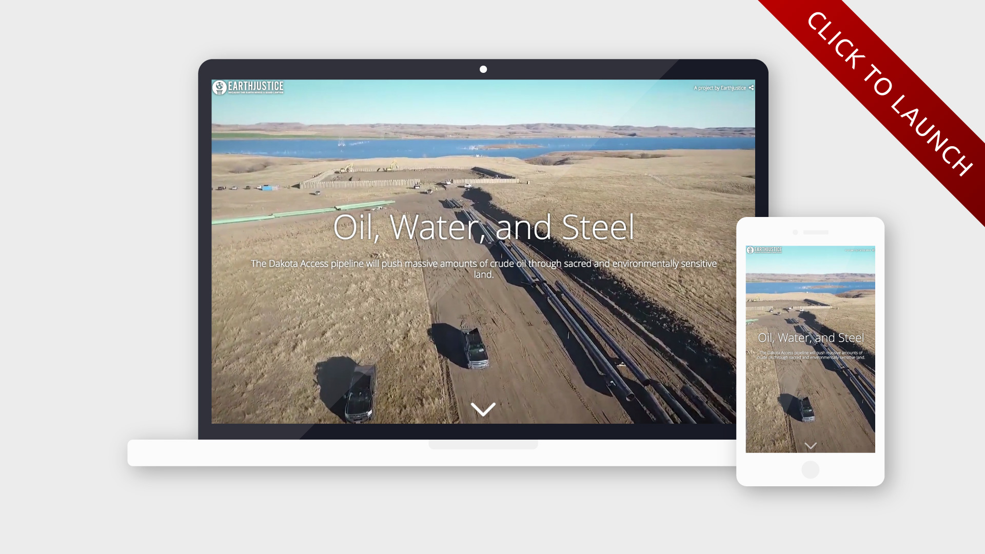
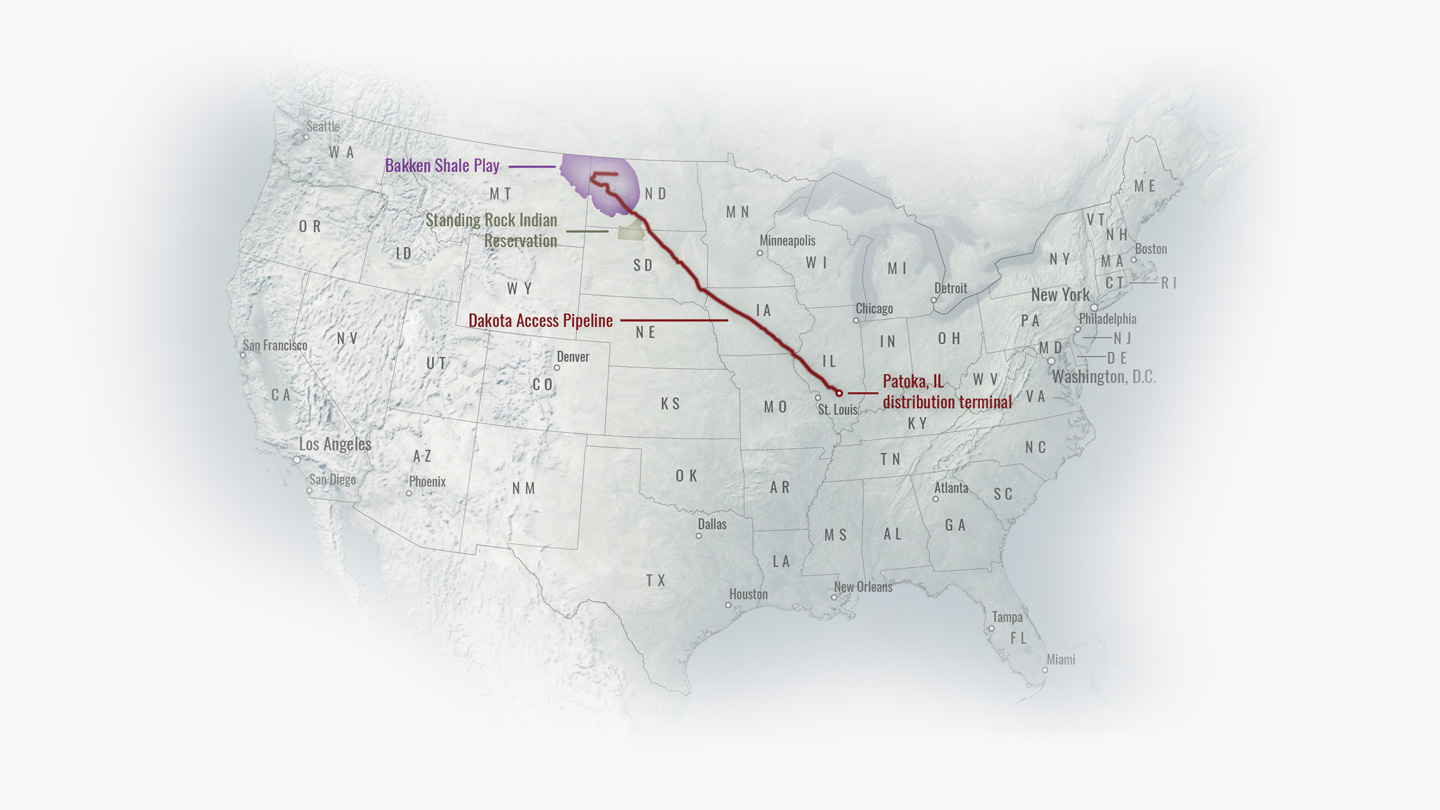
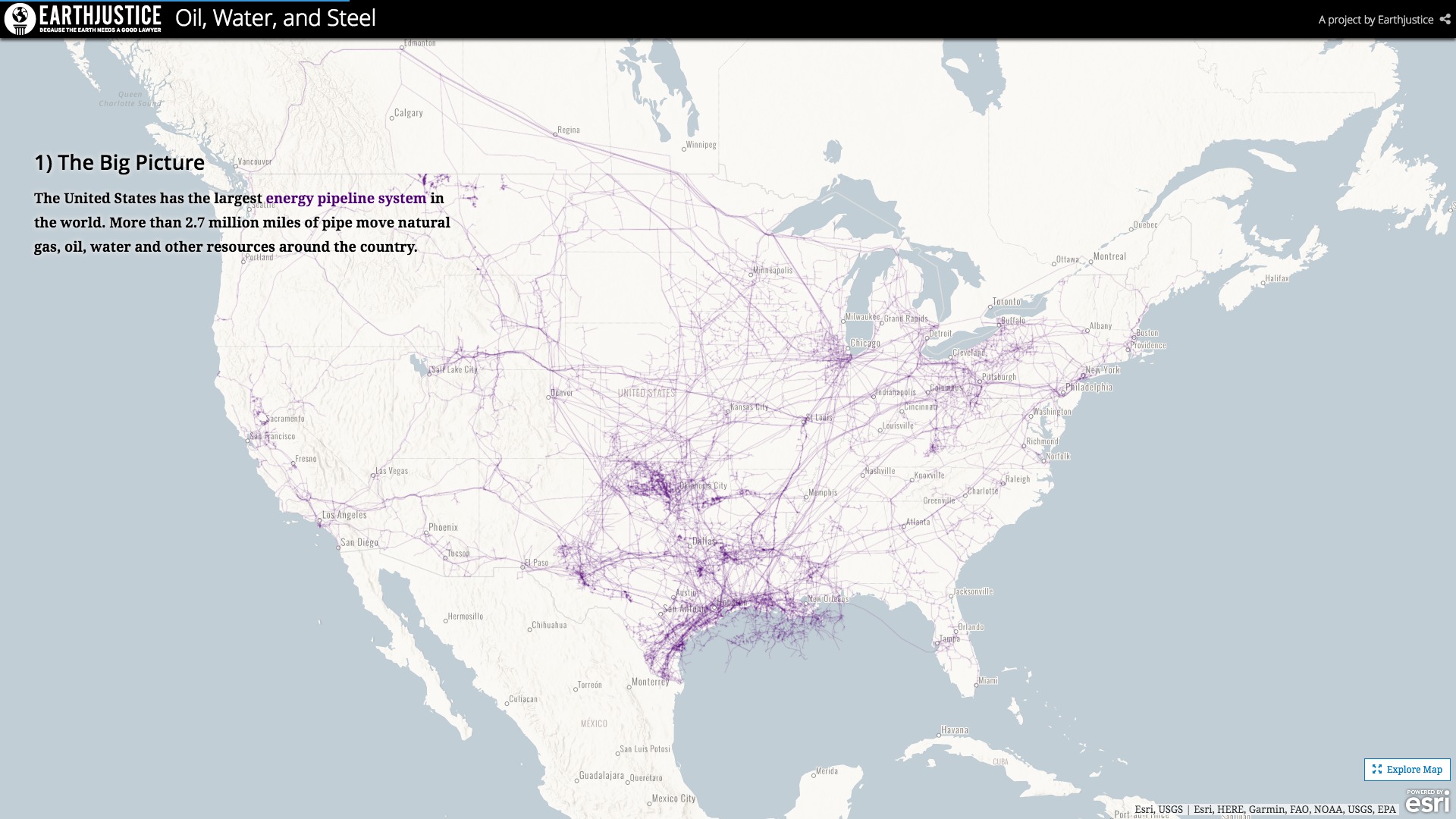
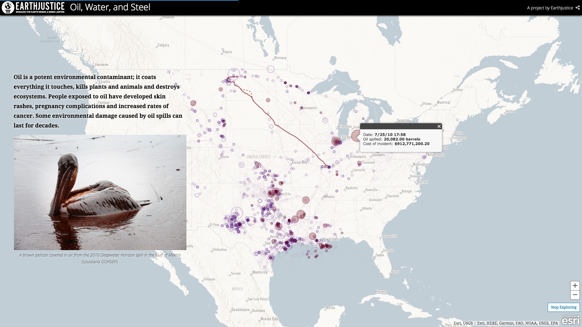
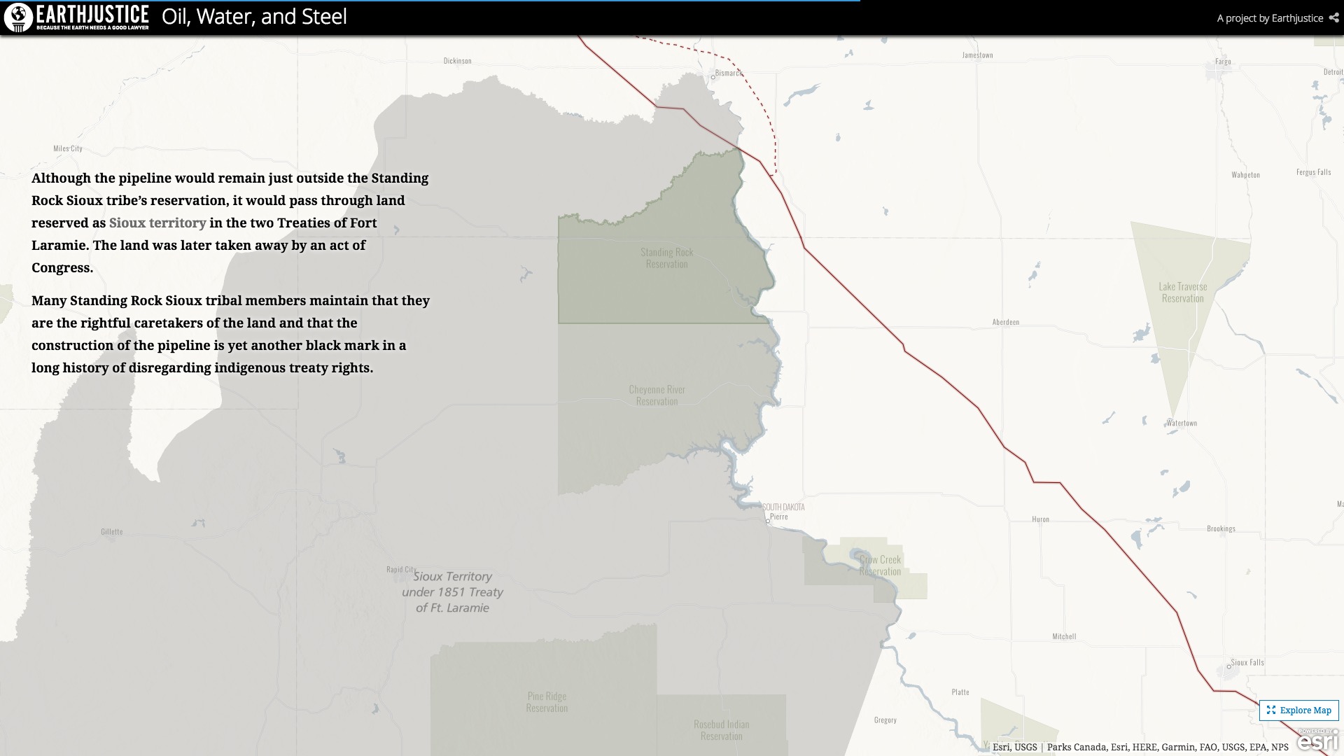
The Dakota Access Pipeline has become a symbol for environmental and indigenous activism. Blazing a 1,172-mile trail across the Great Plains, the pipeline has run afoul of many different groups, from Native American tribes, to farmers dispossessed of their land, to clean energy activists. This story map explores the reasons for the ongoing conflict over the Dakota Access Pipeline—as well as some potential outcomes—through maps and imagery. While the story is by no means impartial, I made an (admittedly halfhearted) effort to address both sides of the argument.
This story was originally published on our website, but the highers-up and Esri account managers deemed it too controversial, and pulled it after just a few hours. Fortunately, the good people at Earthjustice—the nonprofit representing the Standing Rock Sioux in court—were thrilled to publish the story on their own site, instead. Below are some screenshots of the story map; click the image at the top of this post to view the whole thing.

