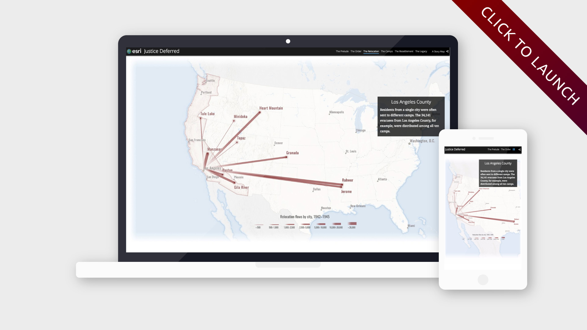
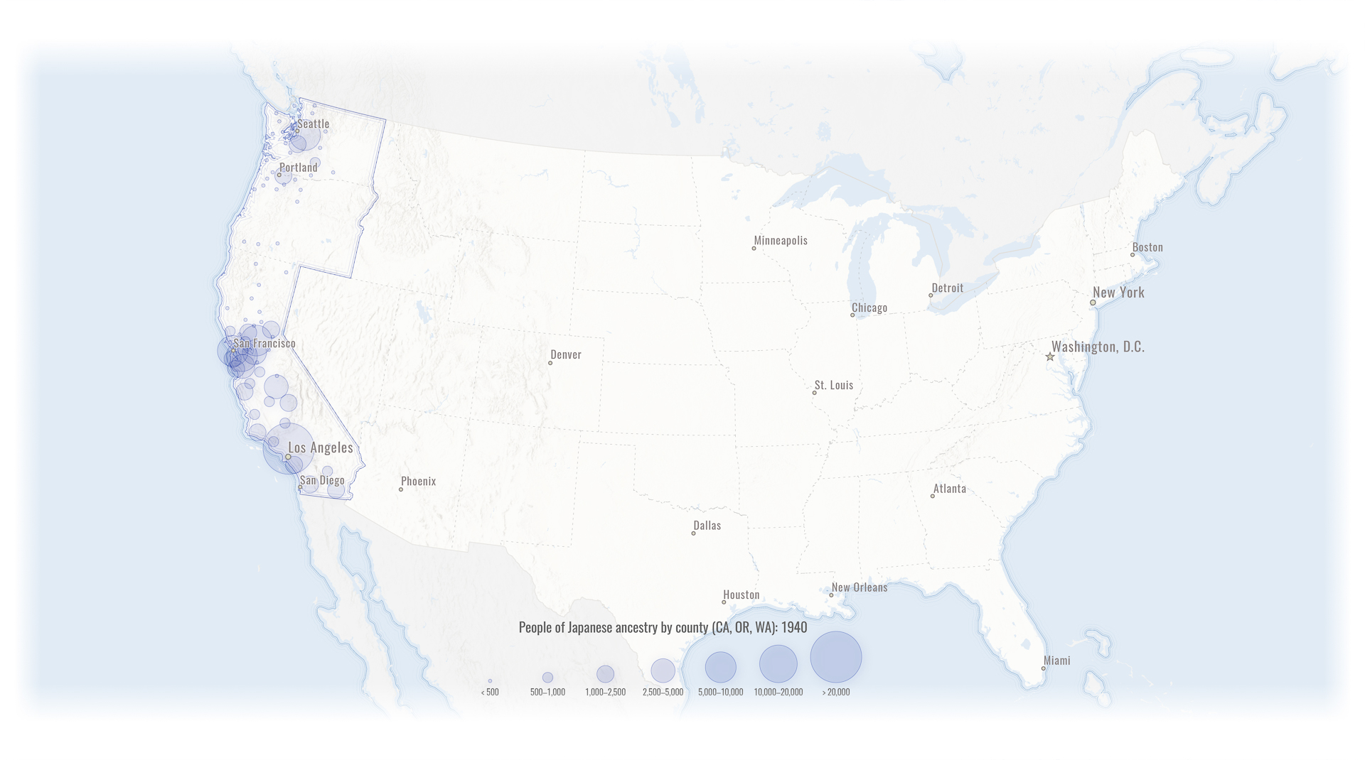
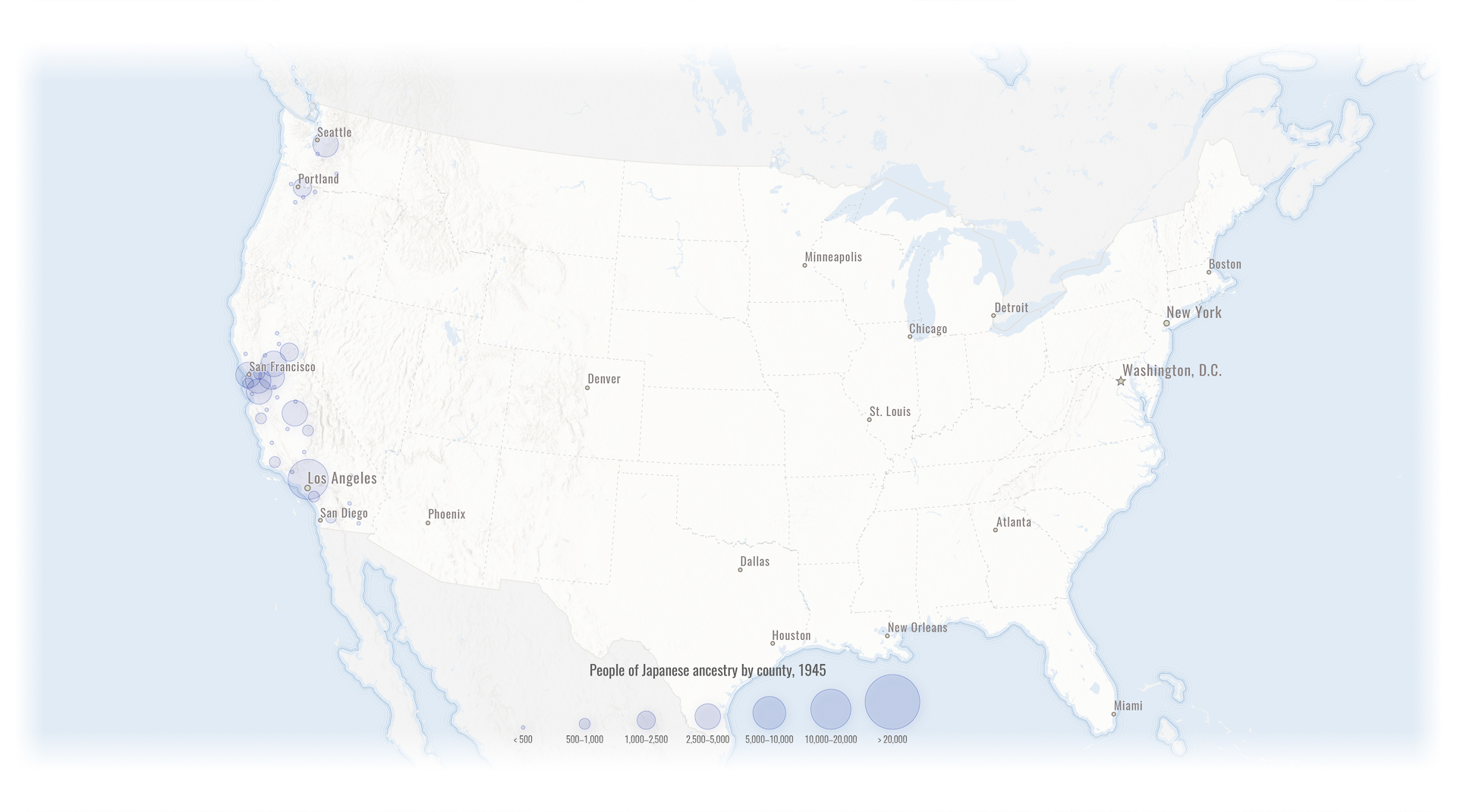
February 19, 2017 marks the 75th anniversary of Executive Order 9066, which condemned over 120,000 Japanese-American civilians to internment camps for the duration of WWII. To commemorate this solemn event, we created an in-depth story map exploring the geography of Japanese-American imprisonment, and the lasting legacy of EO9066.
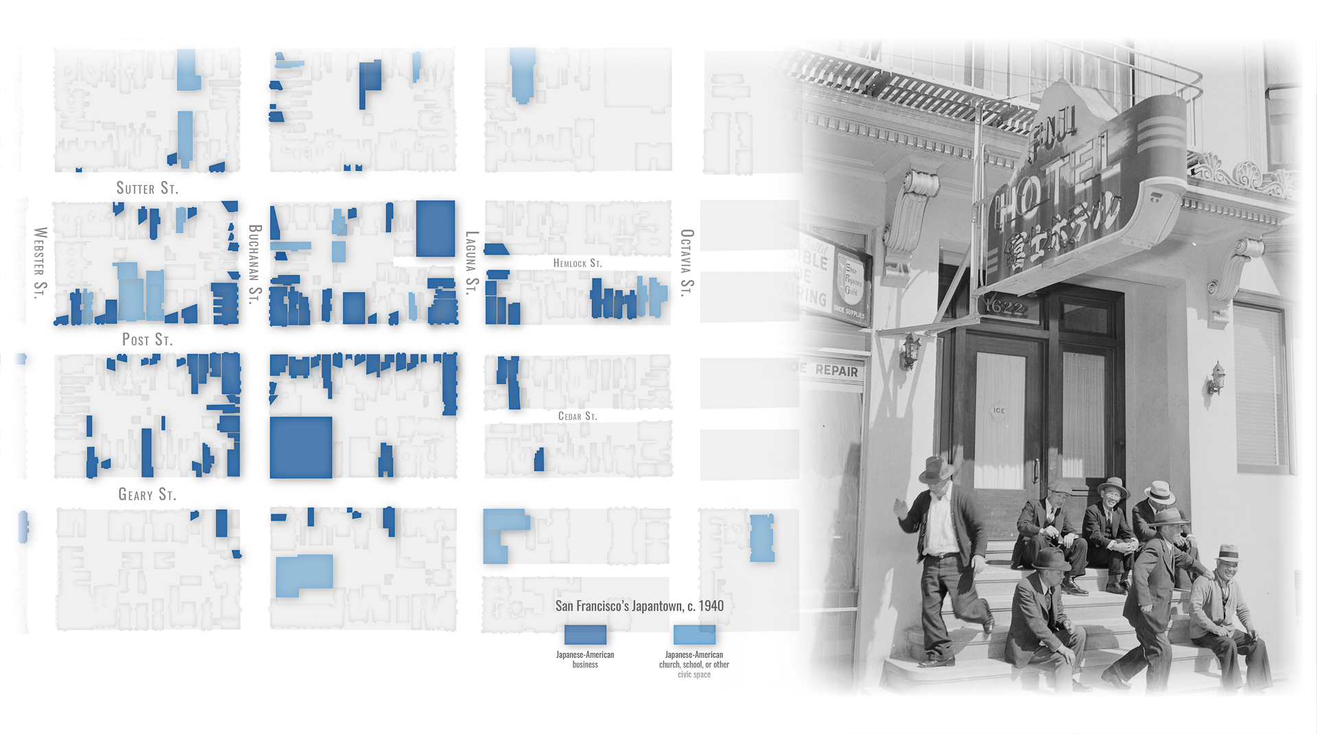
“Justice Deferred” is one of our most ambitious story maps to date, unrivaled in scope and depth. What makes it especially special, in my opinion, is the population/migration data behind the charts and graphs: most of it comes from painstakingly digitized archival records of the WRA, the civilian body that oversaw the relocation and incarceration program. To our knowledge, these records have never been mapped before. (If you’re interested in exploring the data, I’ve posted much of it on data.world.) Ben Pease of Japantown Atlas also graciously shared his equally painstakingly digitized data for the San Francisco Japantown map. Thanks, Ben!
I completed 90% of the cartography in ArcGIS Pro 1.4, only dipping into Illustrator at the very end to add labels and annotations (I love me some opacity masks. Oh, and buttery gradient strokes). I’ve occasionally experienced performance issues with Pro in the past (it’s a Windows-only program and so I run it in a virtual machine on my MacBook), but I didn’t have any problems this time around—and I gotta say, its cartographic capabilities are quite exceptional.
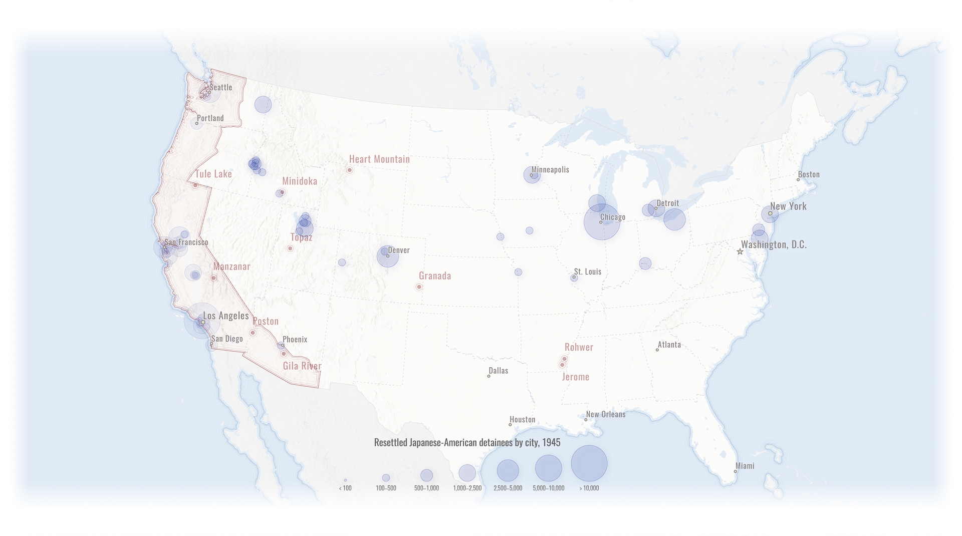
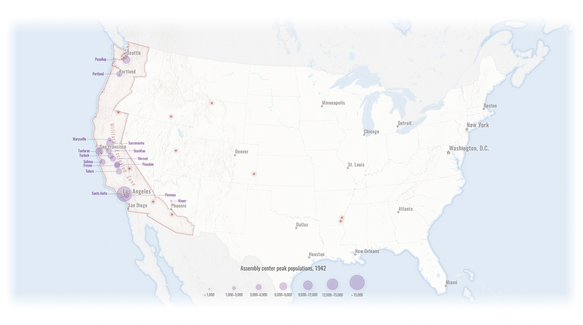
I enjoin you all to read the full story, but in the meantime, here are some maps.

