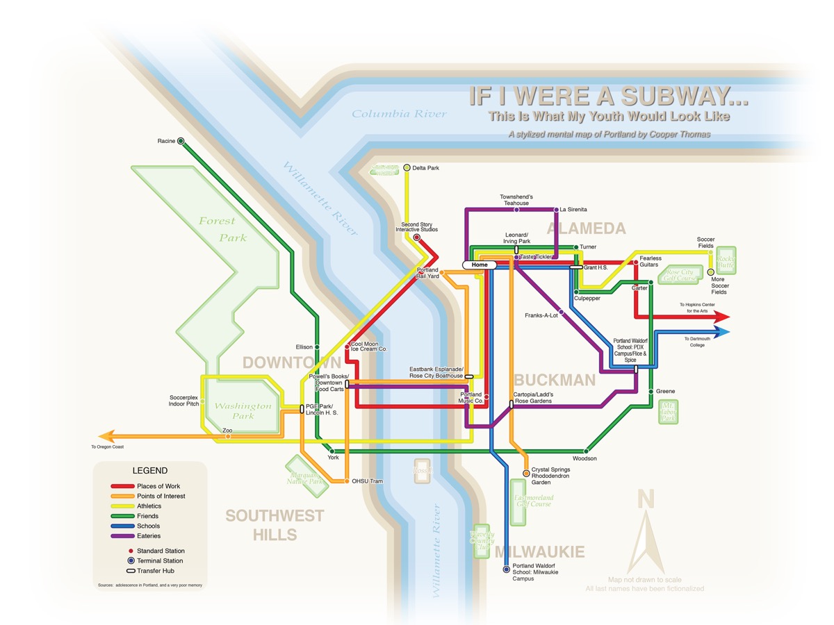
Although I was born on the east coast, I have spent most of my life in Portland. I have many fond memories of growing up in America’s “biggest small city,” and although I’m currently completing my undergraduate degree in New England, I am proud to call Portland my home. This city has given me many things – delicious hazelnuts, a high tolerance for rain, and an even higher appreciation for spring, among them – and I wouldn’t trade my childhood in Portland for anything.
This impressionistic map of Portland identifies several locations integral to my childhood and adolescence. A few of the “stations” are sites of special one-time experiences – my first overnight play date, my first real date, my first (and only) time nearly getting crushed by a freight train, etc. – but most of the locations contributed to my personal and intellectual growth over longer periods of time.
I chose the diagrammatic, metro map-esque aesthetic for a couple of reasons: first of all, I had a relatively busy childhood, with seemingly (at the time, at least) every waking hour blocked out for school, or schoolwork, or athletics, or social engagements, or other after-school commitments. I recall being shuttled from one place to the next. In my opinion, the straight lines of transit maps map visually communicate a sense of order and efficiency, and emphasize destinations over paths.
Second, I created this map almost entirely from memory, and it consequently contains a number of gross geographic inaccuracies. Fortunately, very few diagrammatic transit maps are drawn to scale, and so my map’s inaccuracies are partially camouflaged by the map’s diagrammatic treatment. As third-year student of human geography at Dartmouth College, I spend a lot of time analyzing complex, high-resolution spatial datasets. The impressionistic approach I took to create this map enabled me to ignore basic cartographic principles, such as scale, accuracy, and completeness. Just don’t blame me if this map leads you astray!

