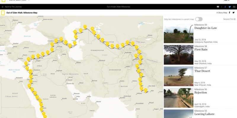
I worked with journalist and National Geographic fellow Paul Salopek—who is currently walking around the world—to create a…
Cooper
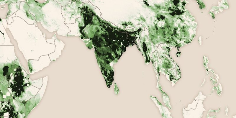
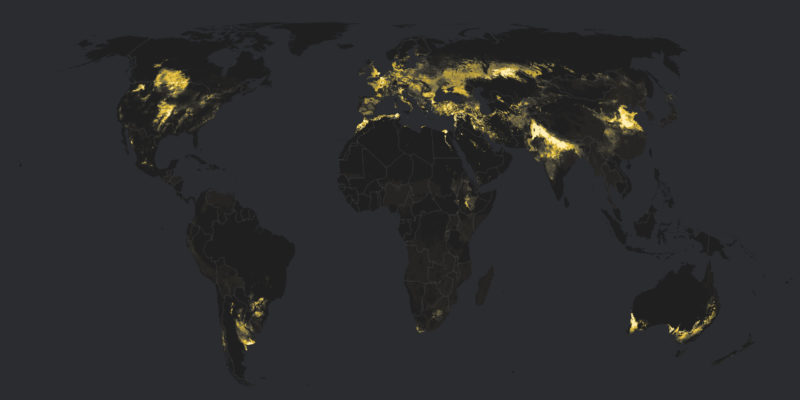
I created this set of livestock density maps for a story map about global livestock production and consumption….
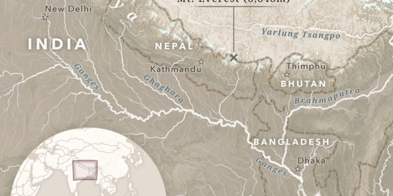
I created these static maps for story about a National Geographic expedition to Mount Everest. The first map…
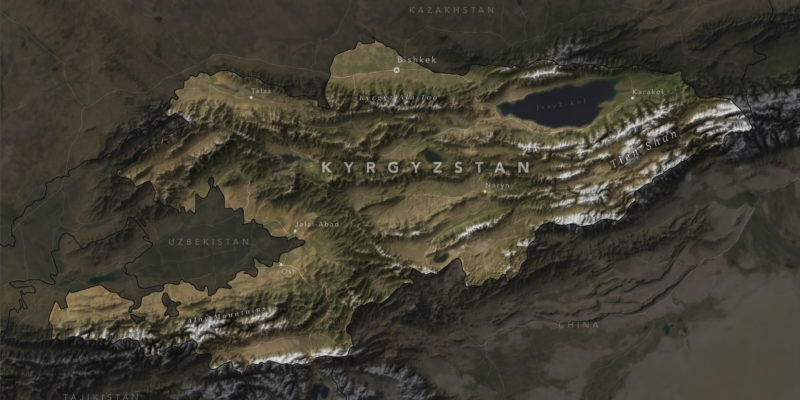
This is my first attempt at creating a shaded relief map in Blender, a 3D modeling and animation…
These static maps accompany The Living Land, the second chapter in an ongoing series about our species’ inexorable…
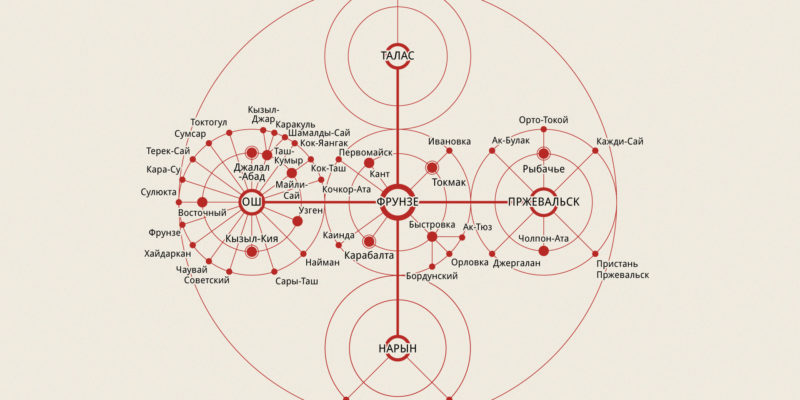
This radial diagram of cities in Kyrgyzstan is adapted from an uncredited illustration in Архитектура Советской Киргизии (Architecture…
The Story Maps team joined up with journalist Paul Salopek, who is currently retracing humankind’s migration from Ethiopia…
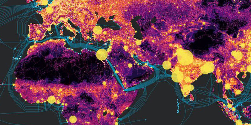
These static maps accompany The Human Reach, the first installment in a series of stories exploring the immeasurable…

