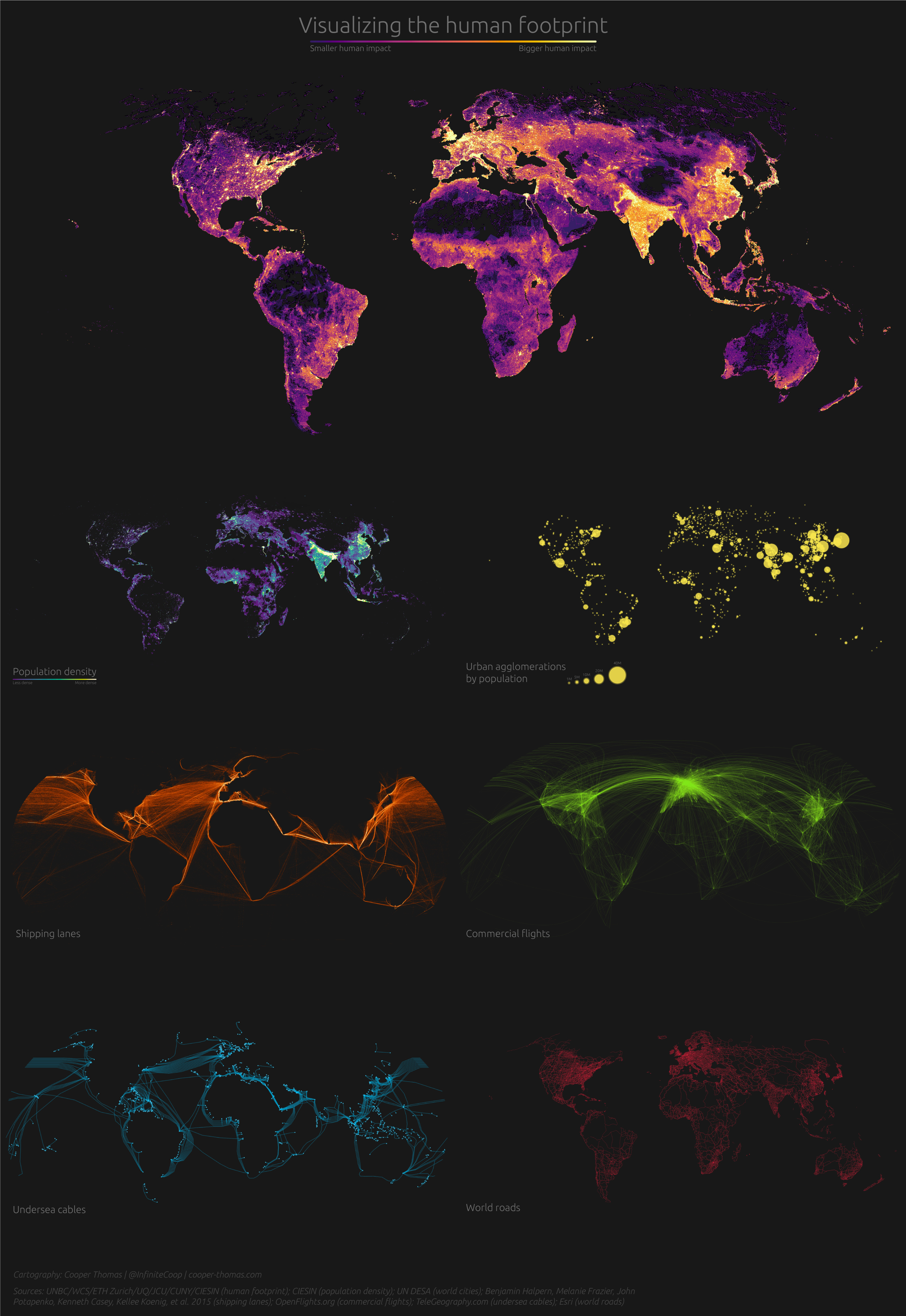
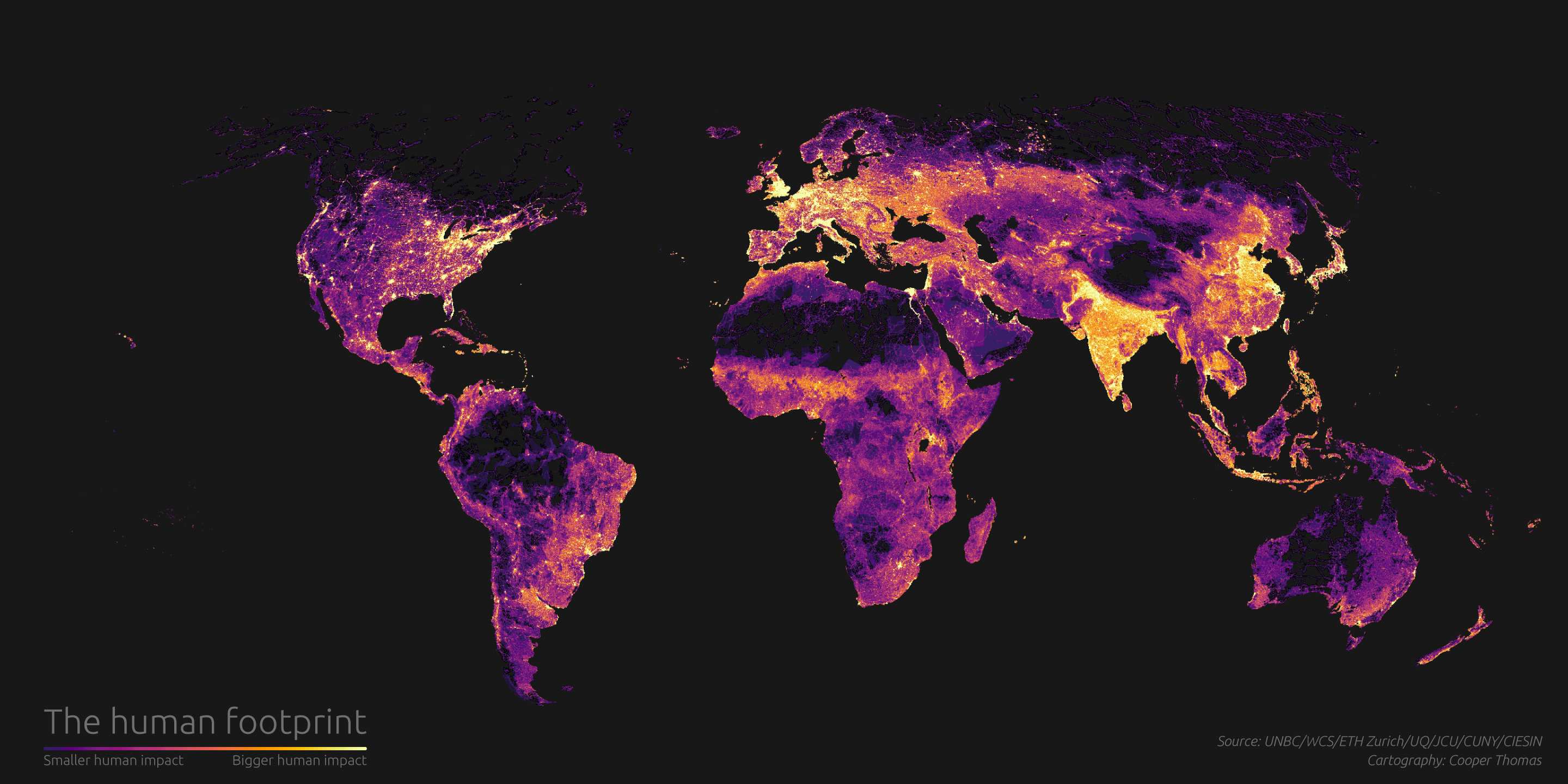
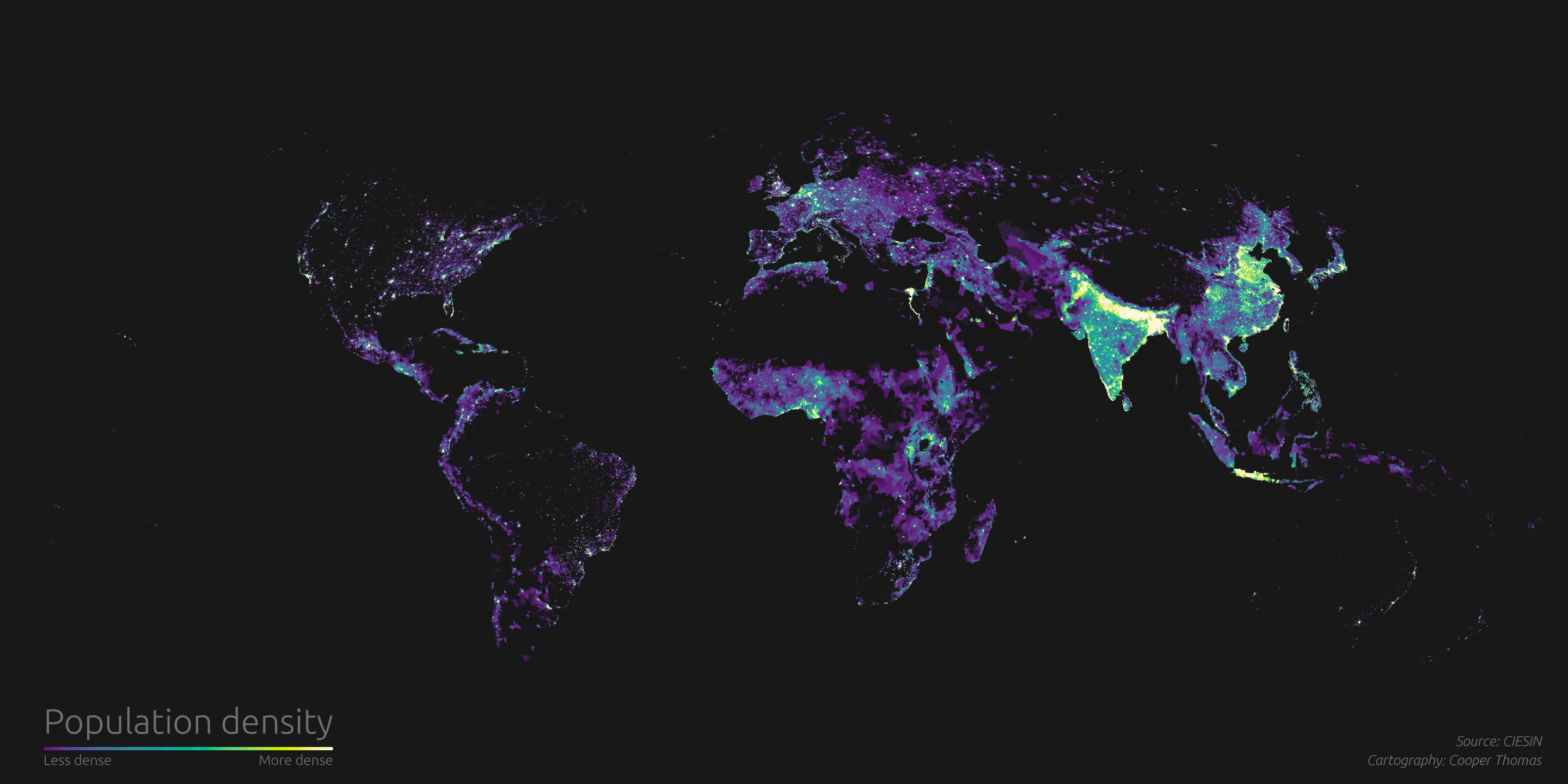
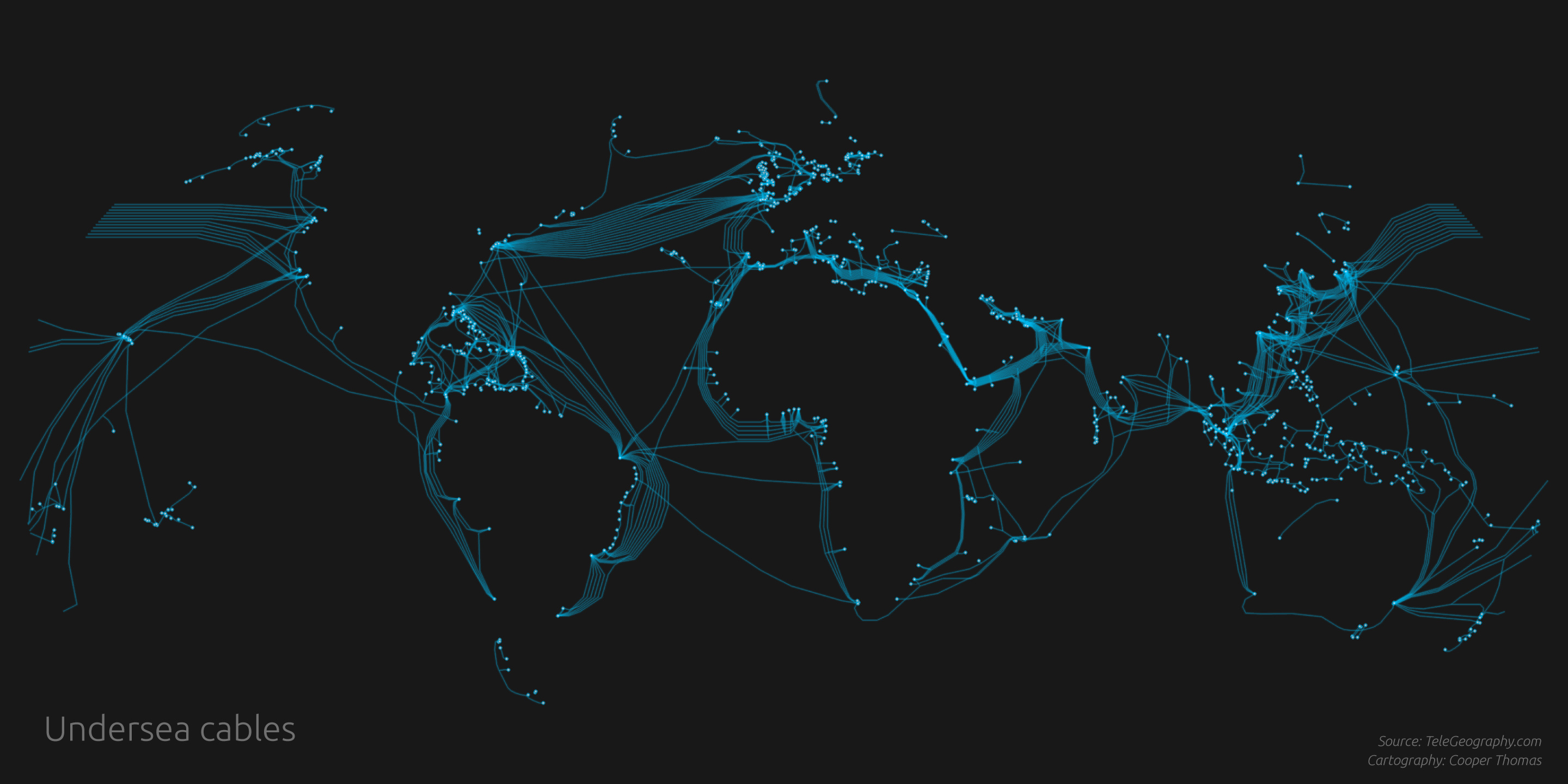
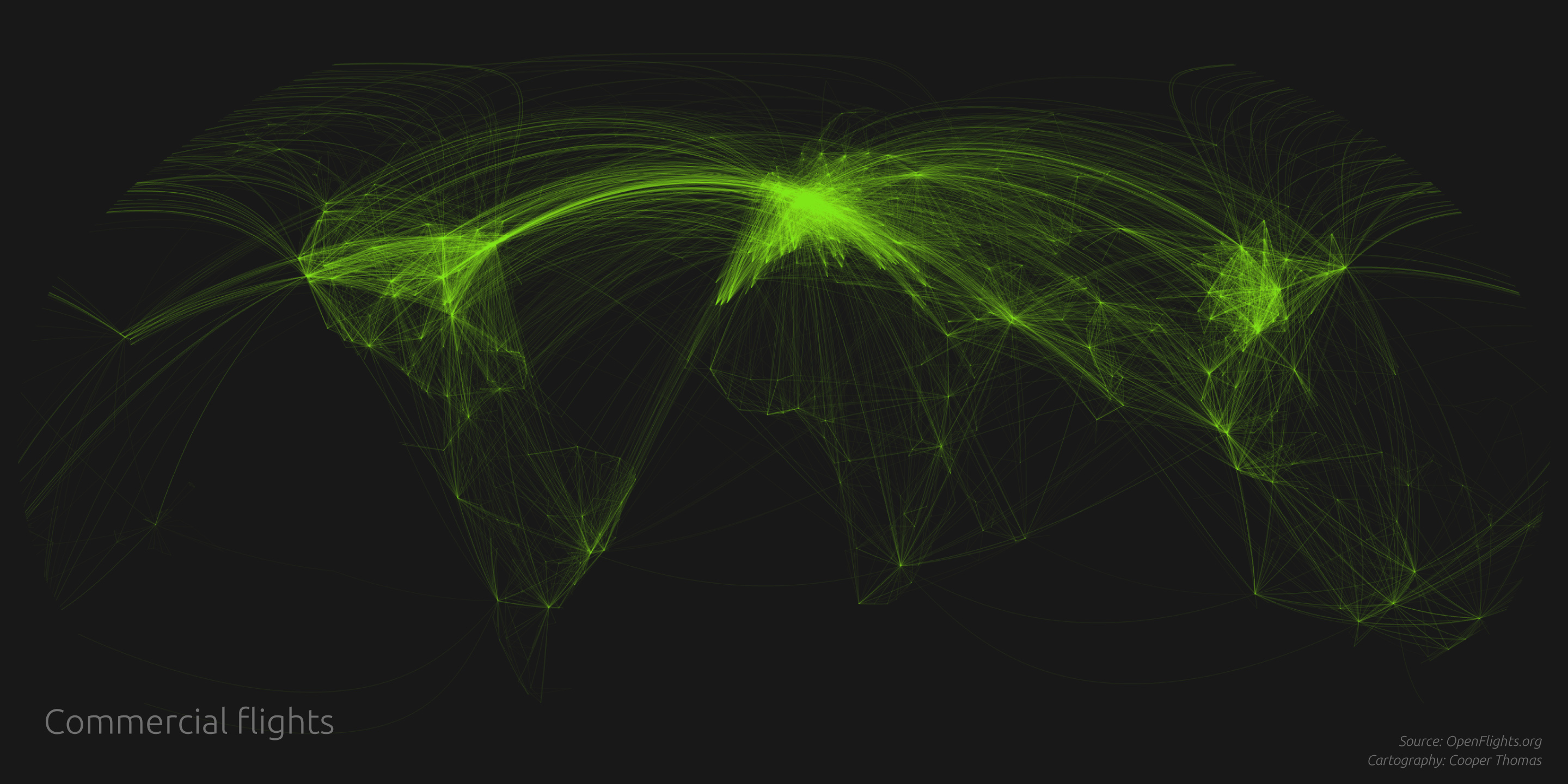
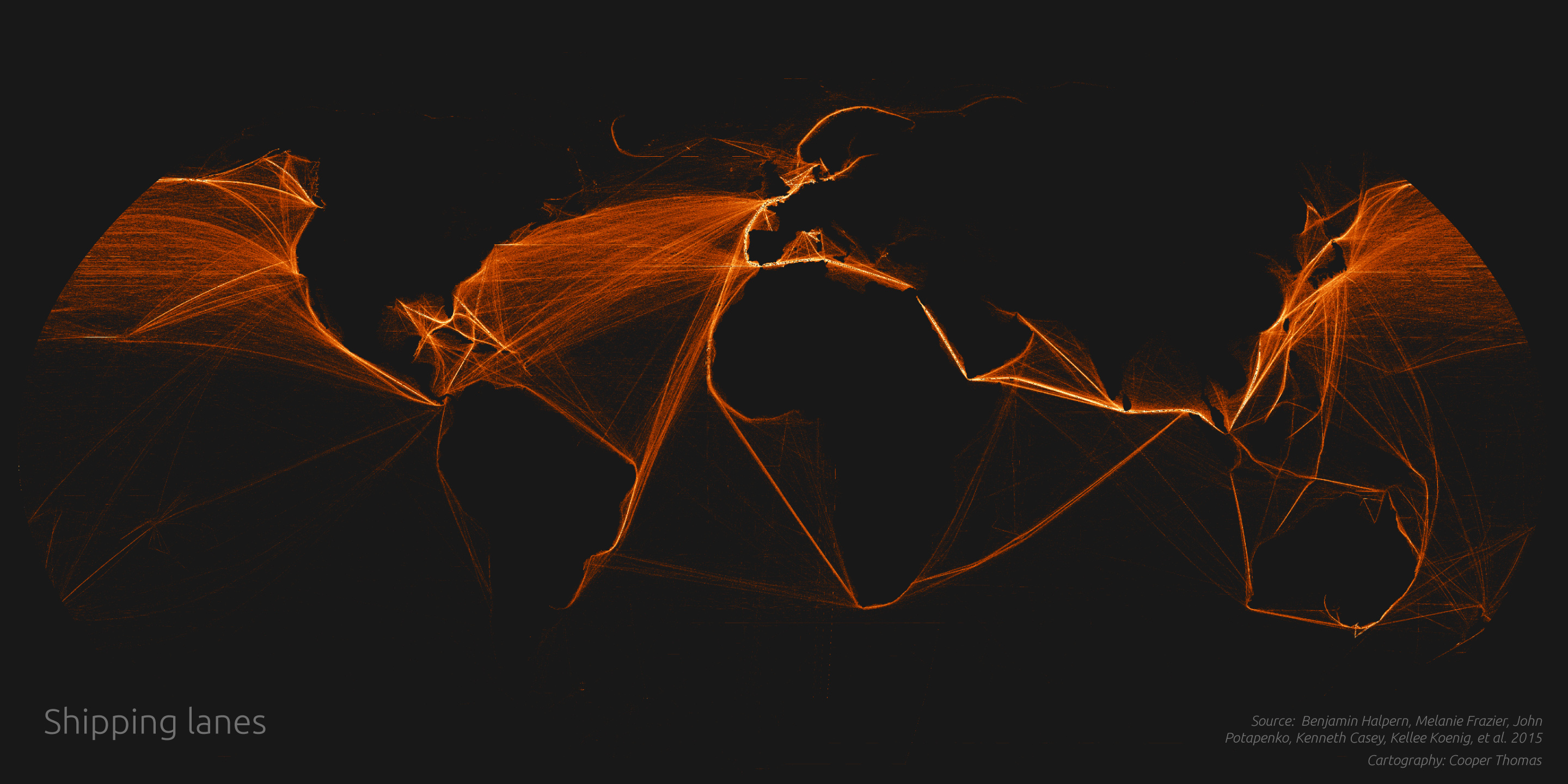
These static maps accompany The Human Reach, the first installment in a series of stories exploring the immeasurable impact of our species on the planet. The full narrative includes interactive, 3D versions of the maps, while an ancillary “atlas” presents interactive, 2D versions of the maps. But I’m a sucker for old-fashioned static cartography, and so I produced these versions as well. Turns out the internet still loves static maps, too: I posted the composite map on r/dataisbeautiful, and it received over 600K views and 40k upvotes in the first 24 hours, propelling it to 8th place on the front page!

